


USGS Water APIs
Modernized API access to the USGS Water Mission Area's hydro-network linked navigation services, processing functionality, and spatio-temporal data.
Questions? Contact us: mdmf@usgs.gov
-
The Hydro-Network Linked Data Index
Network Navigation and Linked Data Discovery
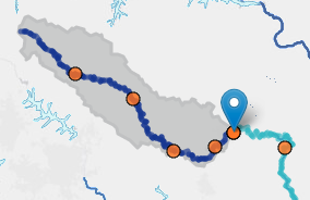
The Hydro Network Linked Data Index (NLDI) puts a RESTful application programming interface (API) in front of the National Hydrography dataset. Now, instead of needing to be a GIS professional, any web developer can build tools against the core data in the NHD in a scalable, workable way.
-
Hydrologic Fabric (pygeoapi)
National Hydrologic Geospatial Fabric spatial layers
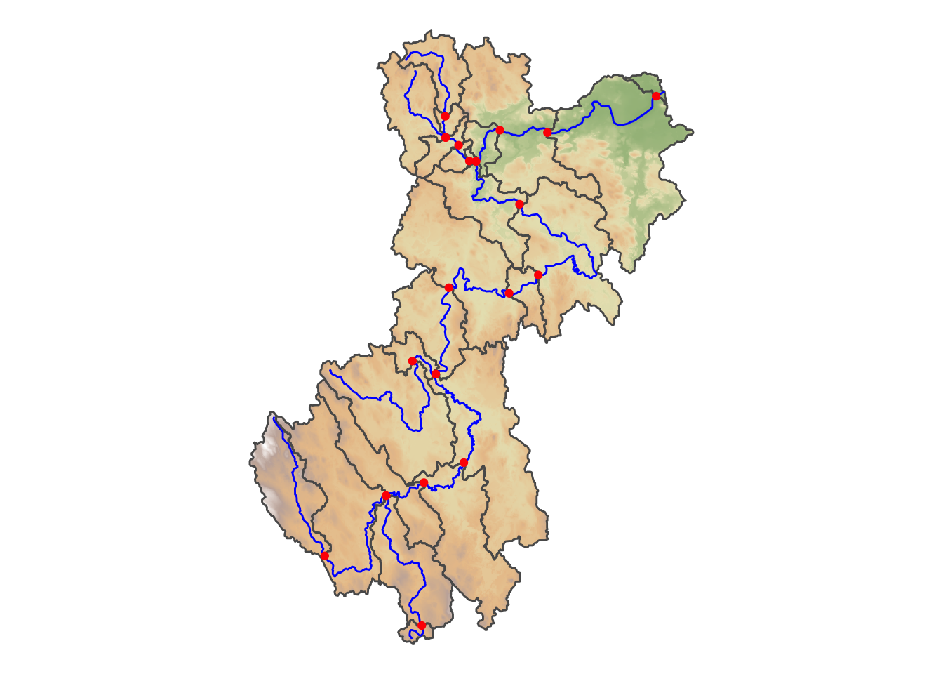
This instance of pygeoapi hosts data from the NHDPlusV2 and Watershed Boundary Dataset. pygeoapi is a Python server implementation of the OGC API suite of standards which provides the capability to deploy a RESTful OGC API endpoint using OpenAPI, GeoJSON, and HTML.
-
Geo Data Portal (pygeoapi)
Geo Data Portal SpatioTemporal Asset Catalog and Processing.
This instance of pygeoapi supports a spatio temporal asset catalog and related geoprocessing services. pygeoapi is a Python server implementation of the OGC API suite of standards which provides the capability to deploy a RESTful OGC API endpoint using OpenAPI, GeoJSON, and HTML.
-
NLDI Processes (pygeoapi)
Network Linked Data Index processes
This instance of pygeoapi hosts processing capabilities related to the Network Linked Data Index. pygeoapi is a Python server implementation of the OGC API suite of standards which provides the capability to deploy a RESTful OGC API endpoint using OpenAPI, GeoJSON, and HTML.
-
National Water Availability Assessment Data Companion (NWDC)
Comprehensive user documentation for the NWDC API
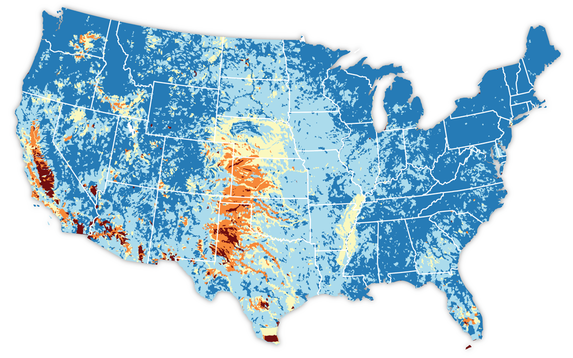
Web services that provide access to national-scale USGS modeled water availability data.
Developer Documentation
Guides and reference material for integrating with National Hydrologic Geospatial Fabric (NHGF) APIs.
-
Getting Started with the NLDI Core API
Introduction to the Network Linked Data Index (NLDI), its core concepts, and the structure of the Python-based API.
-
Network Linked Data Index (NLDI) Processes (pygeoapi)
Geoprocessing services — raindrop trace, split catchment, and cross sections — exposed via OGC API – Processes.
-
Hydrologic Geospatial Fabric (pygeoapi)
OGC API service providing NHDPlusV2 hydrography, Watershed Boundary Dataset hydrologic units, and Gages-II reference gage data as vector features and tiles.
-
Geo Data Portal (pygeoapi)
OGC API service providing gridded climate and meteorological datasets for CONUS via Environmental Data Retrieval (EDR), STAC, and geoprocessing endpoints.
-
National Water Availability Assessment Data Companion (NWDC)
National Water Availability Assessment Data Companion (NWDC) web services documentation.